
Slowing the Flow - volunteers build evidence for wet woodland restoration
Written by: Joyce Halliday
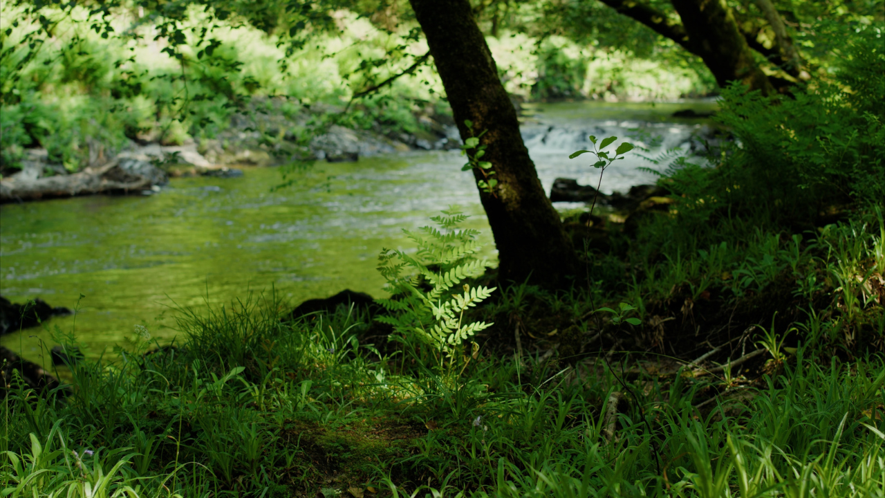
Restoring rivers is an essential part of temperate rainforest restoration. The Royal Fern, pictured, is a rare plant found in very damp riverbanks. Credit: Bull and Wolf.
Volunteers and contractors have been ‘slowing the flow’ in some of our Devon woodlands as part of site management plans to restore these temperate broadleaf rainforest habitats. But how will we know if it's working and what impacts we are likely to see? A group of volunteers has taken on the task of surveying those watercourses to help us build our knowledge and an evidence base for our approaches.
Creating healthy streams
Fingle Woods is a Plantation on Ancient Woodland (PAWS) site on the edge of Dartmoor. Seven small streams dissect these woods and feed into the River Teign. High winter rainfall, steep slopes and multiple conifer rotations have led to them flooding with the loss of soil and riverside trees. There is also a real need to retain water in these catchments, to increase the extent of wetland ecosystems and counter summer heat.
As part of the regeneration of this ancient woodland, dense conifers, which create a lot of shade, are being removed from zones which border these streams to allow light beneath the canopy and encourage native river species to thrive. Alongside this, natural flood management, such as leaky dams, are being introduced - often the work of volunteers.
The site was granted National Lottery Heritage Funding in 2016 so monitoring the activity to improve the woodland and waterways, then using this information to bring about change, has always been key to its regeneration.
Much of this survey work has been done by volunteers. We work closely with Dave Rickwood, the site manager, who identifies the need, brings in experts to train us and, importantly, talks to us about just how he is going to use that information locally.
Our current survey work focuses on charting the health of these small watercourses.
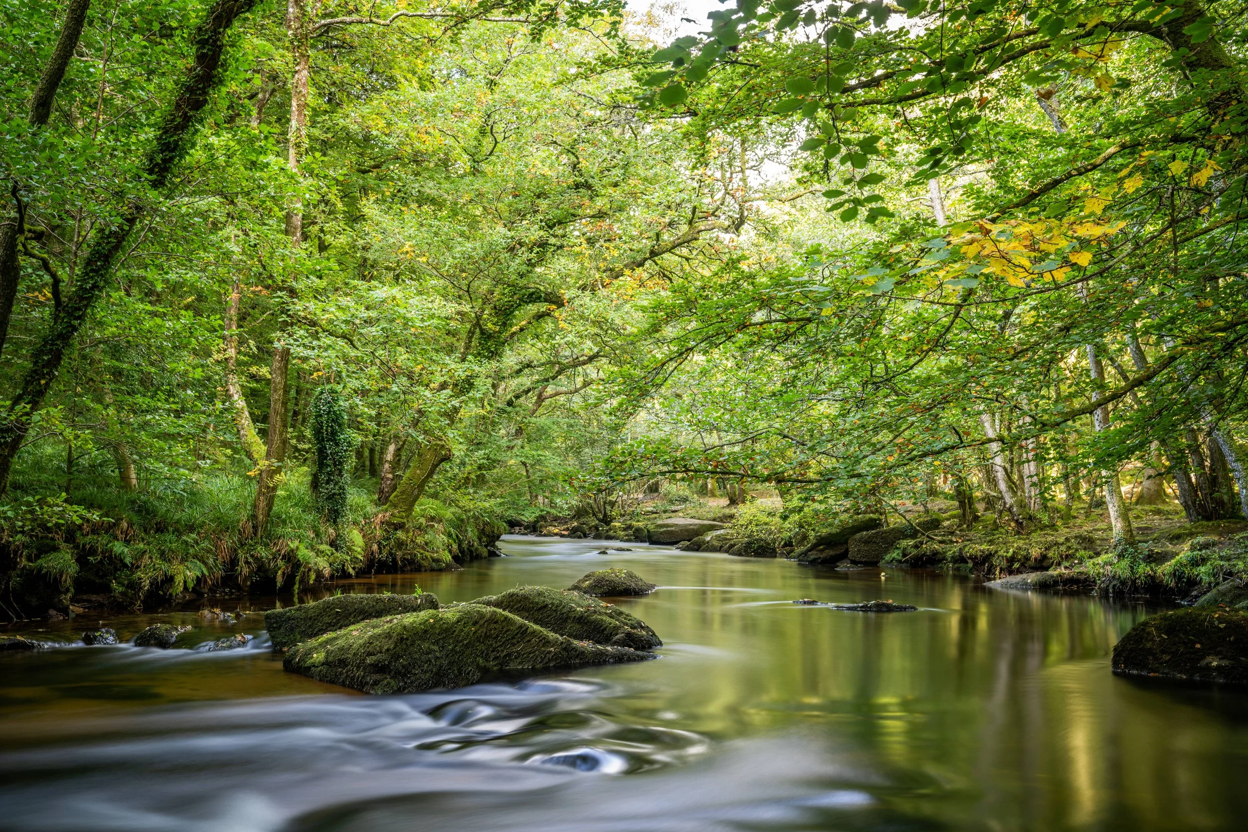
Fingle Woods sits on the Teign Valley in East Dartmoor. Credit: Ben Lee.
Watercourse surveys in action
Our aim is to provide a baseline so we can measure change over time. Over the last four years, 14 volunteers have been involved in doing the surveys. To date, nearly four kilometres have been surveyed, divided into 25 metre sections.
For each section we start by taking a point measurement of the stream’s width, depth, sediment size, light levels, distance to the woodland edge and tree cover. Looking at the section as a whole, we then identify the presence and abundance of 23 core watercourse species and 13 supplementary ones, along with the extent of bryophyte cover, opportunities for flood features and levels of deer grazing, brash, conifer regeneration, willow, bracken and bramble.
Light level readings are also taken at the edge of each 10-metre zone, or the woodland edge, and a description made of each section of stream together with the surrounding vegetation and terrain.
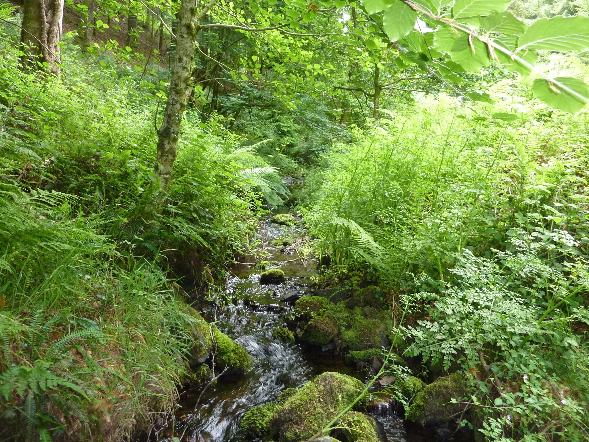
The wood is made up of lots of small streams like this one. Credit: Joyce Halliday.
Observations to build a picture over time
With another two watercourses currently being surveyed it is early for baseline findings but we are seeing that these streams tend to be small, shallow and fast flowing with very few sections where gravel or sand can collect and form. Several of the watercourses also have little bog or mire at the moment and most have some sections with very few water-loving species.
The volunteer activity and leaky dams aim to ‘slow the flow’, creating more areas like this in future with pools, bogs and other beneficial micro-habitats.
Light also plays a huge part in helping temperate rainforest species to thrive. Despite thinning there are still many areas where woodland sits directly alongside the watercourse and light levels are often low. Brash cover is also very high in some areas with bracken and bramble found in many sections and conifer regeneration posing a constant threat, shading out plants that could create an understorey – a whole extra layer of greenery closer to ground level.
Over time we hope to observe change but it is so important to show what is here now.
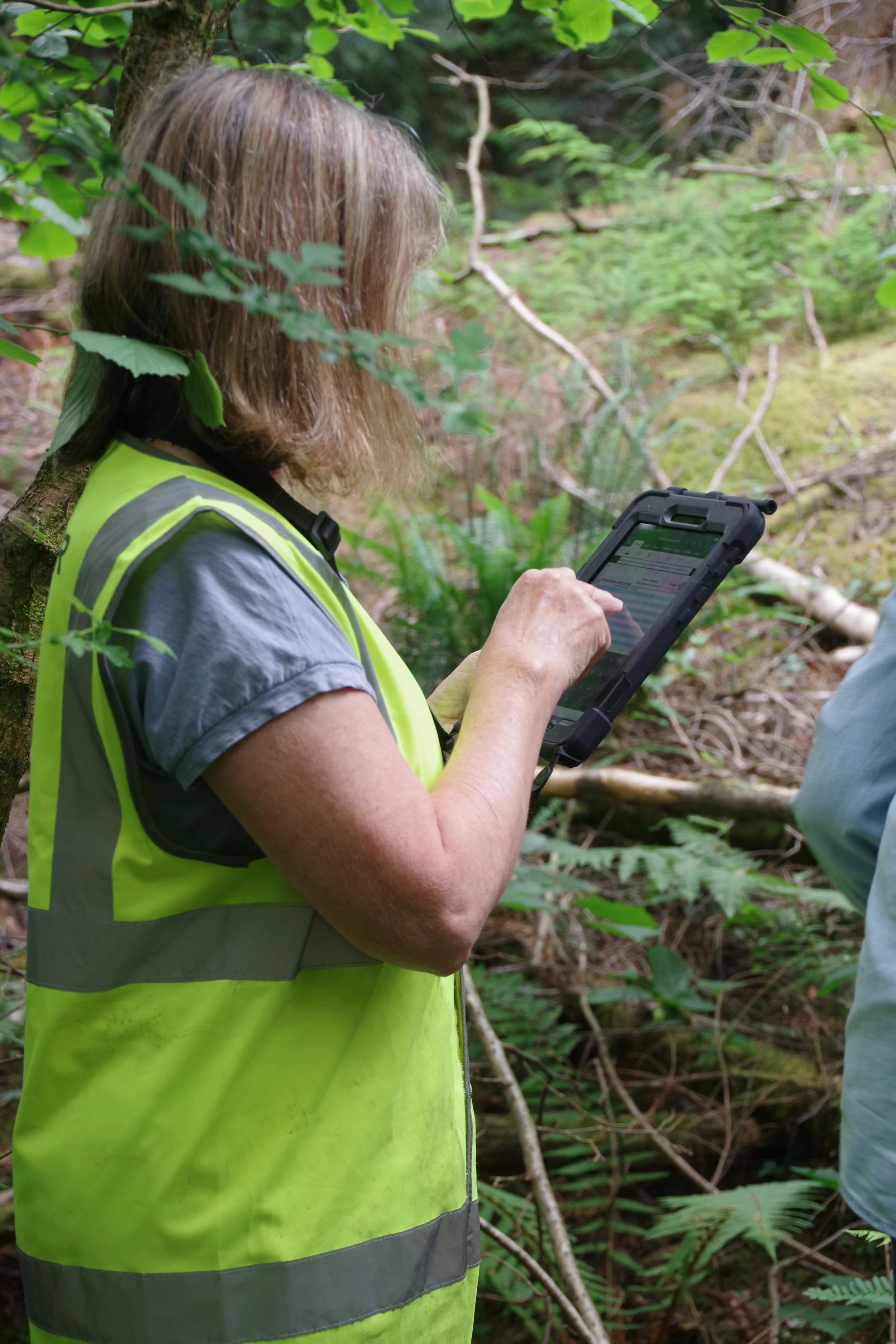
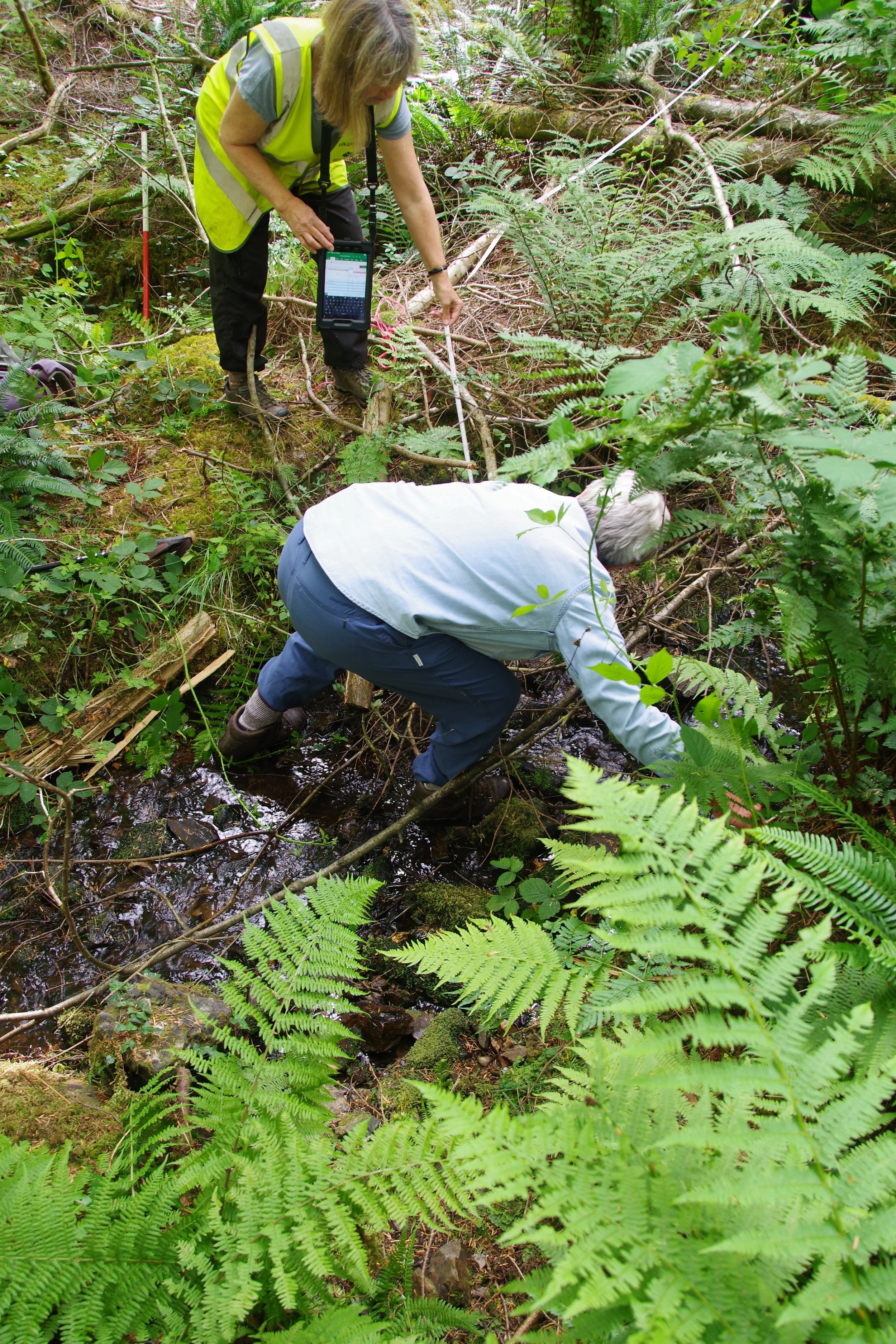
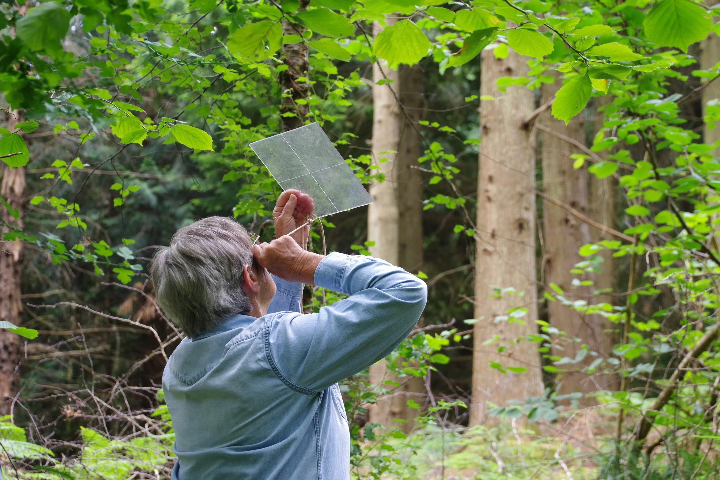
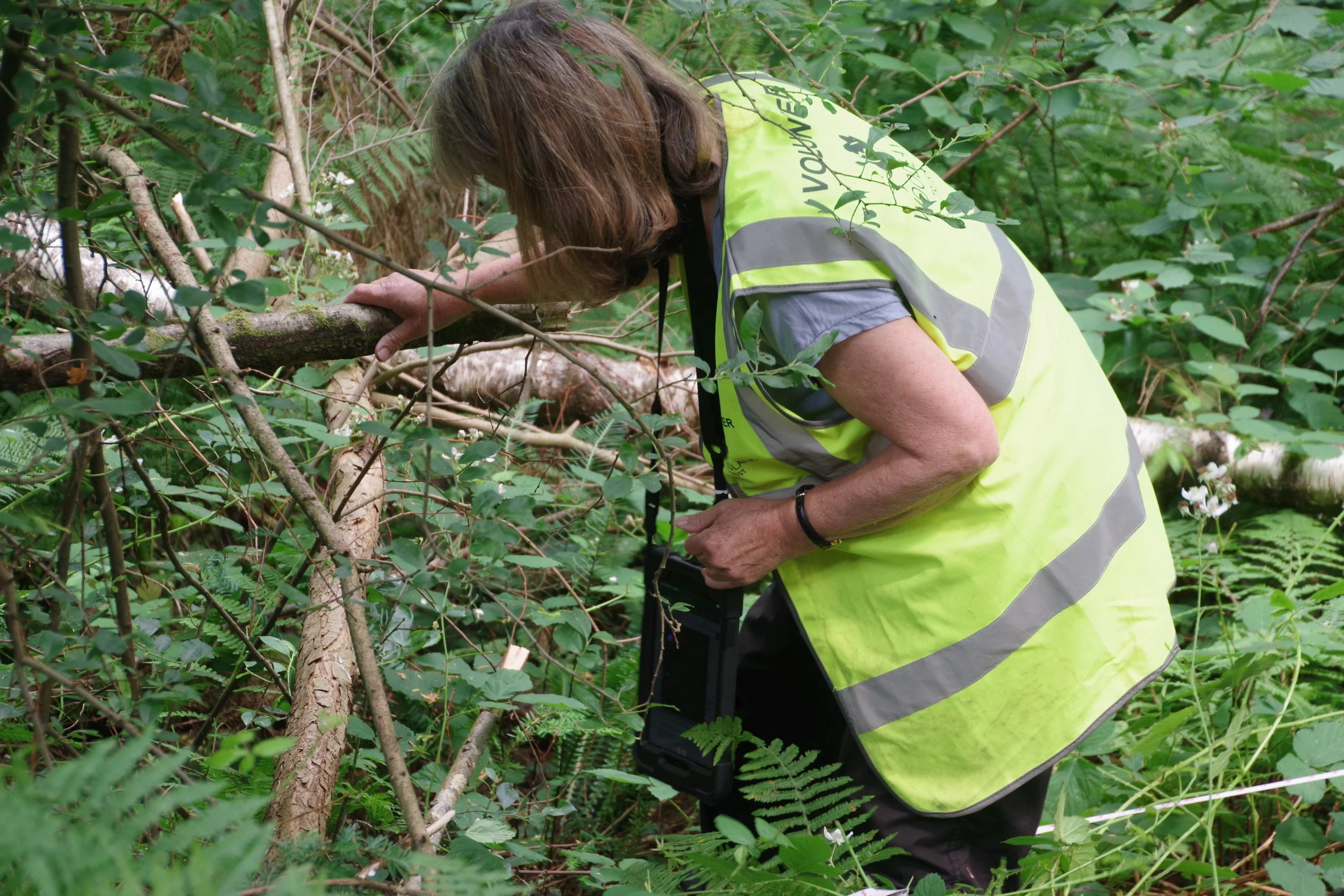
Volunteers busy measuring, surveying and recording the habitat around these streams, often crawling through vegetation to do so. Credit: Joyce Halliday.
Surveying rivers – it’s about going with the flow
“Total bracken cover, quite steep… newly fallen conifer, dense ferns. Too steep and densely vegetated to walk along.”
These are among the section descriptions for our survey routes so you can probably imagine our trips can be an adventure!
The task at hand is not always easy. When one of us heads off upstream to measure the next 25 metre section the wait for their return is often long and punctuated by the occasional expletive.
We use tablets to input what we find onto Excel spreadsheets - their carrying handles and waterproof cases meaning we can prioritise ourselves when we slip midstream rather than worrying about losing our data.
“Lovely hazel woodland with a diverse woodland flora, full of dappled light, ferns, bluebells and honeysuckle.”
This is another description of a survey route so, at the same time, this is a wonderful project to be involved with.
Often, we are in places where no-one else walks and were delighted the other week to notice a real flush of wetland plants colonising an area of bog behind one of the dams we made several years ago.
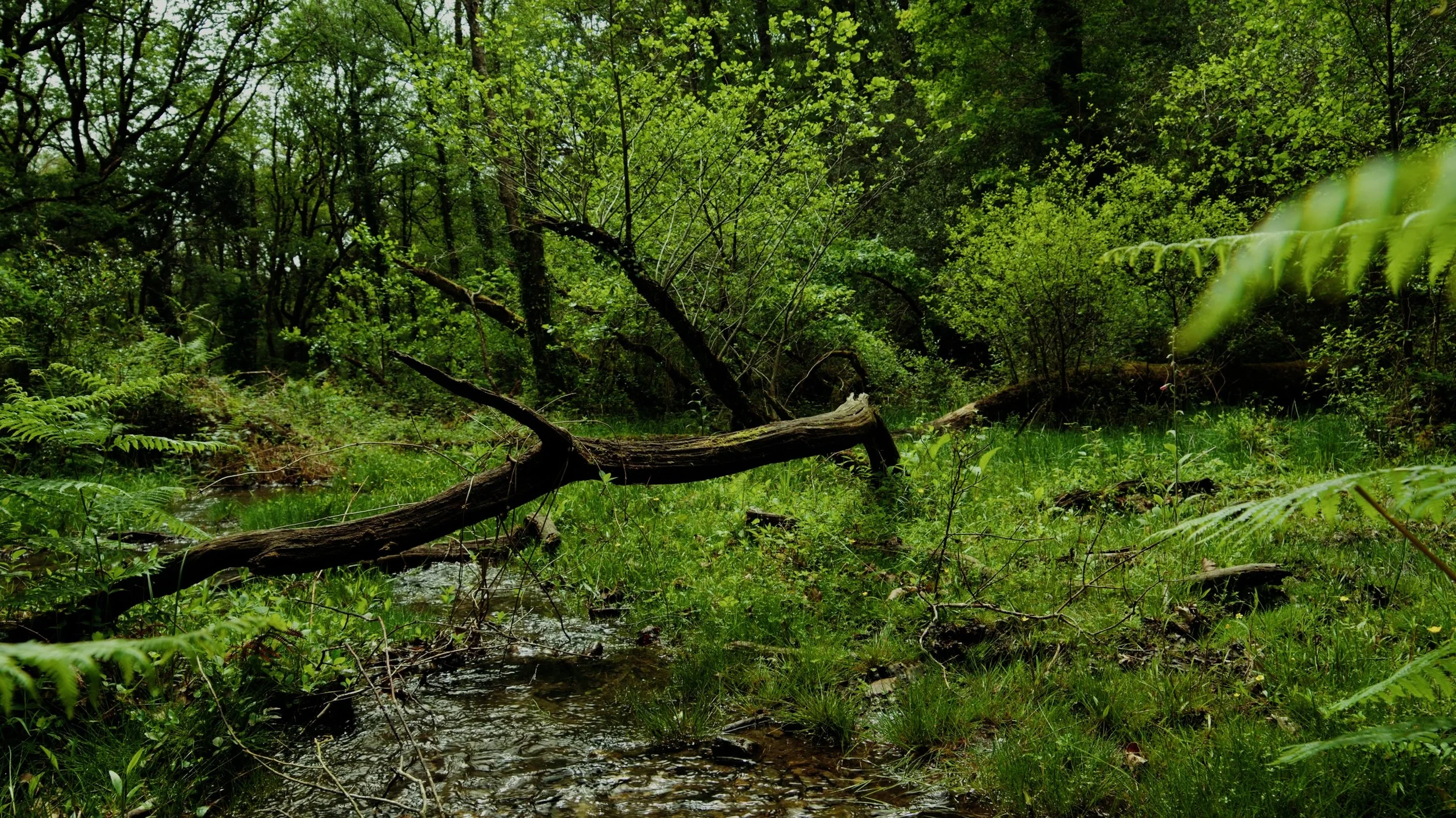
Above: Wetland habitat is essential for the resilience of temperate rainforests. Credit: Bull and Wolf.
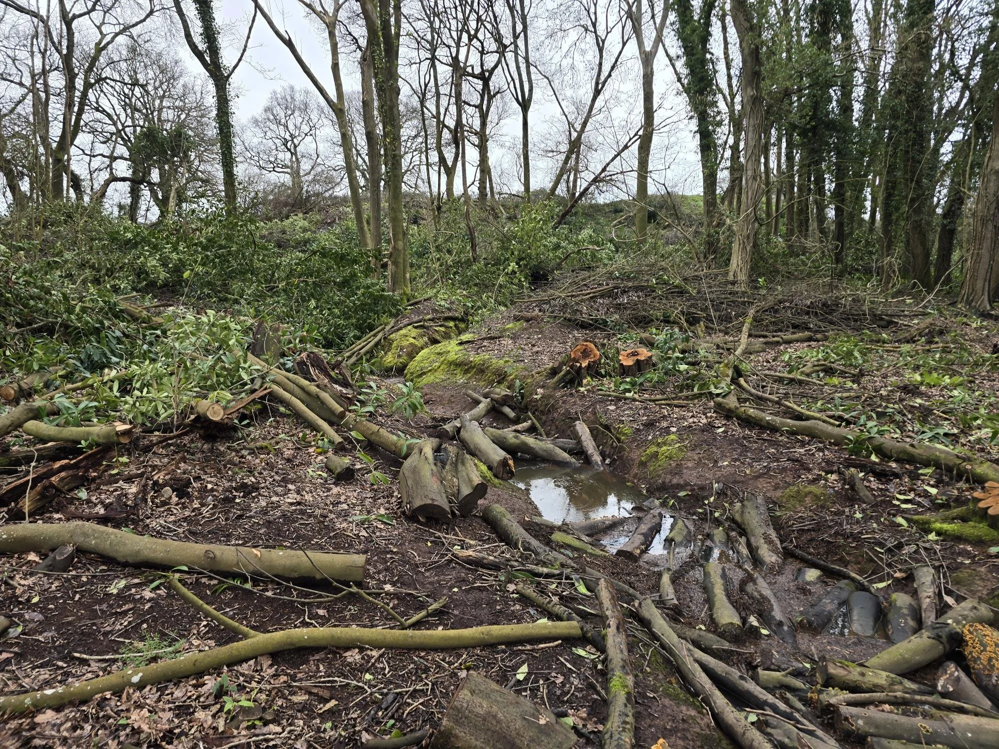
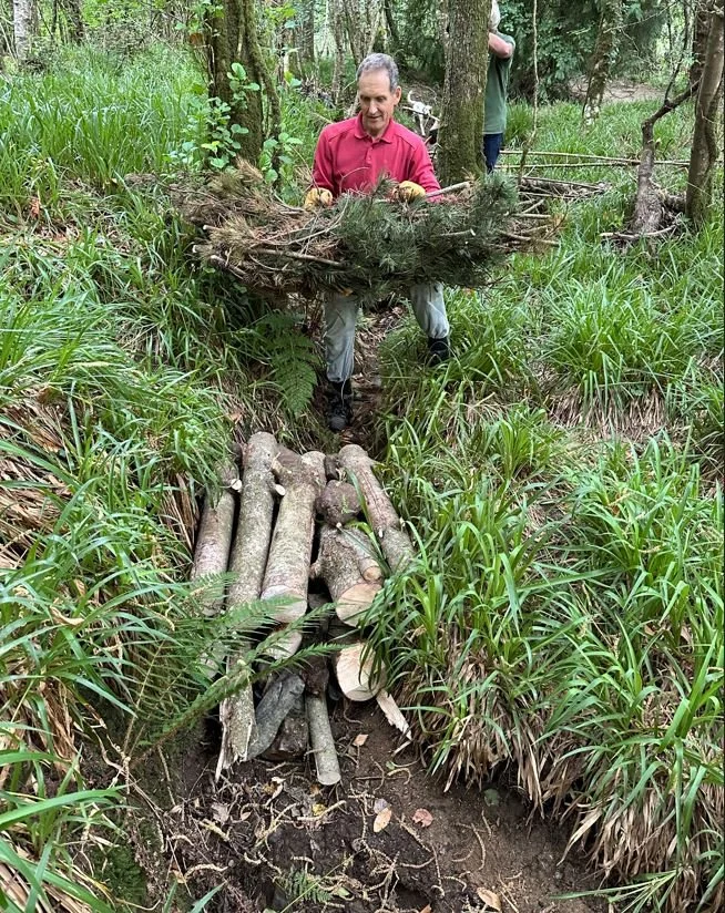
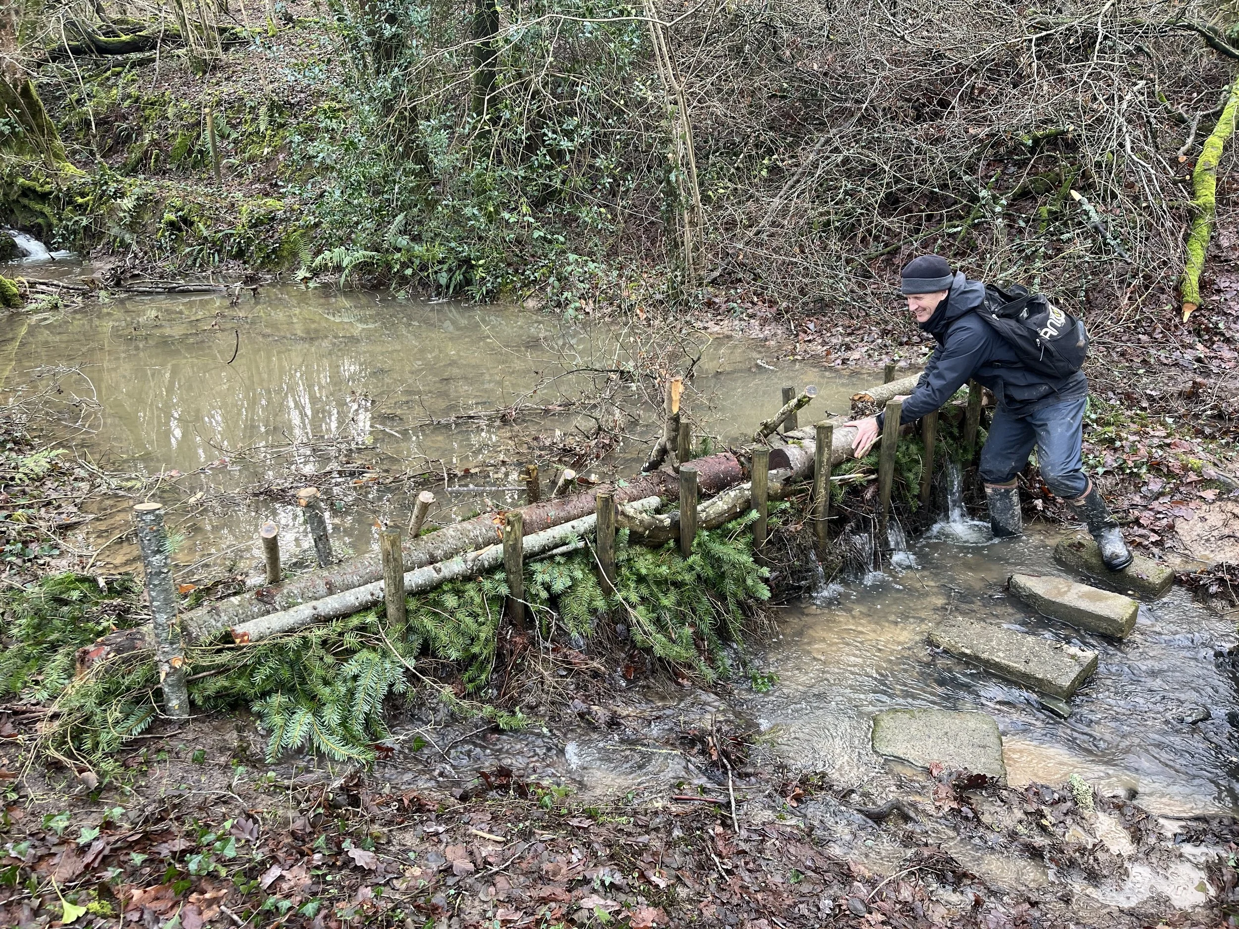
Below: Examples of leaky dams volunteers have worked on across our woodlands. Credit: Alexa Bingham.

A learning journey that just keeps going
We are using a different method to measure change in Mardon Mire. The Mire is an area with many springs where a lot of work has been undertaken by both volunteers and contractors to create ponds, retain water and plant trees. Here, we use transects and quadrats, (2 metre squares placed along a series of marked lines) to return and measure the same locations over time.
A few weeks ago, Devon Wildlife Consultants held a training session here, sharing results of their ecological survey of riparian (riverside) habitats and suggesting ways we might help monitor the recovery of reptiles, dragonflies, damselflies and butterflies. We also had a chance to continue improving our plant identification skills with their expert knowledge.
We all appreciate the investment in our skills as well as knowing that what we are doing is really helping improve the management of this ancient woodland. Its recovery is so important to us, to wildlife and to the wider ecosystem.
If you would like to volunteer with the Woodland Trust, head over over to our opportunity page to see all available opportunities.